The Outfall Trail
Transforming Bayside's Connectivity: The Vision for a Comprehensive Trail from Wolli Creek to Botany Bay
Envision a safe, accessible 3 km walk that starts from the bustling towers of Wolli Creek or the serene hills of Turrella, winding through Arncliffe all the way to the sandy stretches of Botany Bay. Leveraging existing paths like the M5 Cycleway and the Cooks River Cycleway, run along and atop the historically significant engineering marvel of the cooler-than-it-sounds Western Outfall Main Sewer (WOMS), Peaceful Bayside will work to make this vision reality.
This initiative takes some inspiration from New York's High Line, a reused elevated rail structure, transforming underused linear spaces into vibrant, community-enhancing landscapes. While, the Bayside Green Grid lays groundwork for a greener, more connected community, it is just the beginning. To truly transform Bayside's approach to urban space, we must bridge (and tunnel) the infrastructural boundaries that divide us.
In its finished form, the Outfall Trail starts from Wolli Creek Regional Park, and connecting across Wolli Creek and under the T8 East Hills Line Railway runs to where Wolli Creek meets Turrella. Crossing under the T4 and then on the WOMS, it navigates through Arncliffe’s transforming industrial zones. Crossing over the Princes Highway, it makes its way through the Ajax Reserve and along quiet suburban streets to the Cook Park Trail. It extends the trail to the foreshore of the Cook River. It bridges Muddy Creek to get us to the northern beaches of Botany Bay.
Iron Cove boasts the beloved Bay Run, a staple for Sydney's fitness enthusiasts. Similarly, Sydney itself hosts the iconic City2Surf, a significant event that embodies the city's active spirit. It's time Bayside carved out its own niche with a proposed new Outfall Trail, running from Wolli Creek to the Botany Bay, which can one day host its own iconic events. This trail that not only connects points but also unites people. If we are to solve the challenges ahead of us, we require more ambition and less compromise.
Outfall Trail Details:
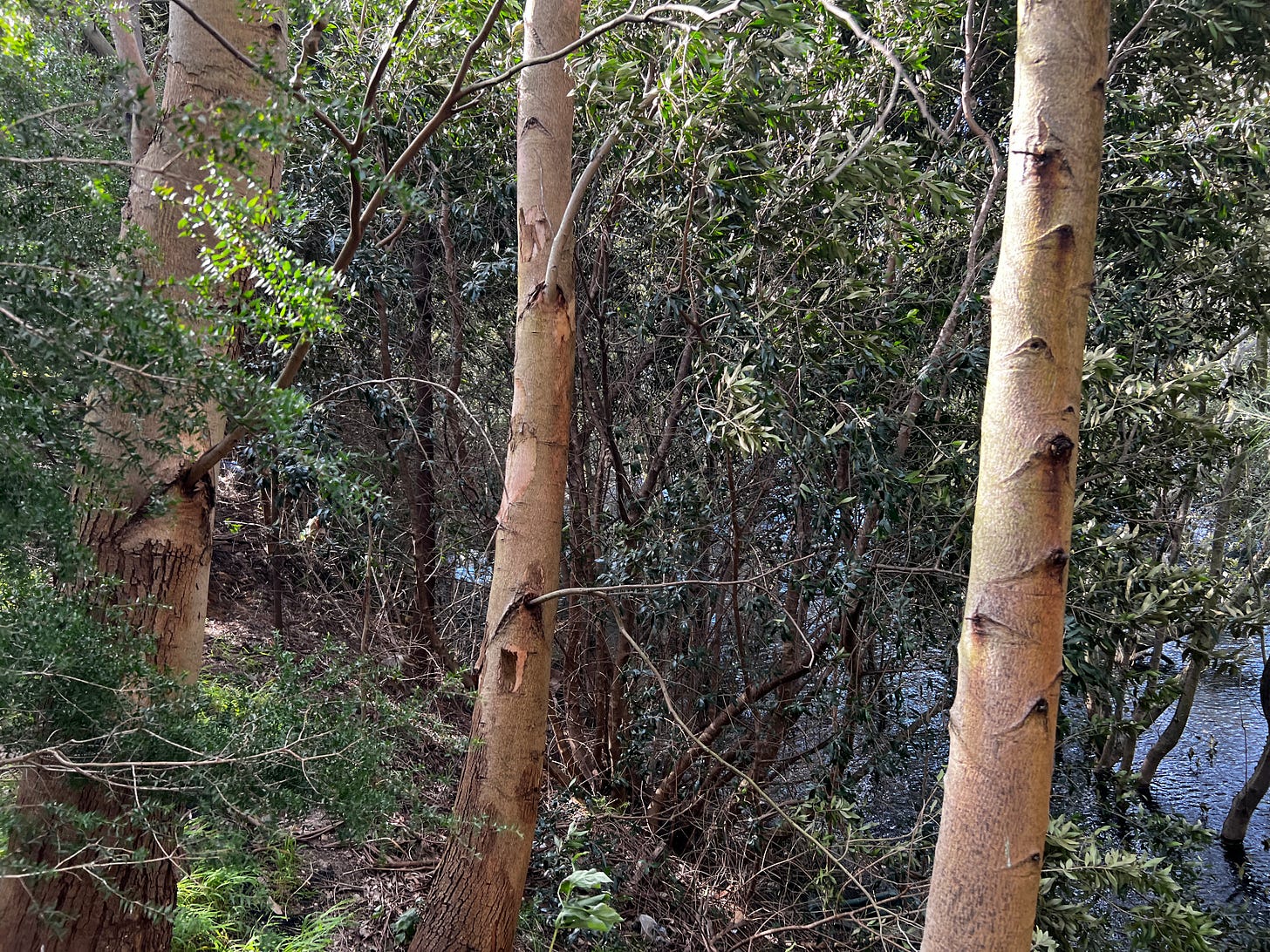
[A. The Park. The Outfall Trail is extended northward to intersects existing trails through Wolli Creek regional park. We propose traversing a new pedestrian bridge across Wolli Creek, carving a trail through the bush, to a new well-lit tunnel adjacent to the WOMS under the T8, and then rising to the top of the WOMS at Lusty Lane. (Phase II)]
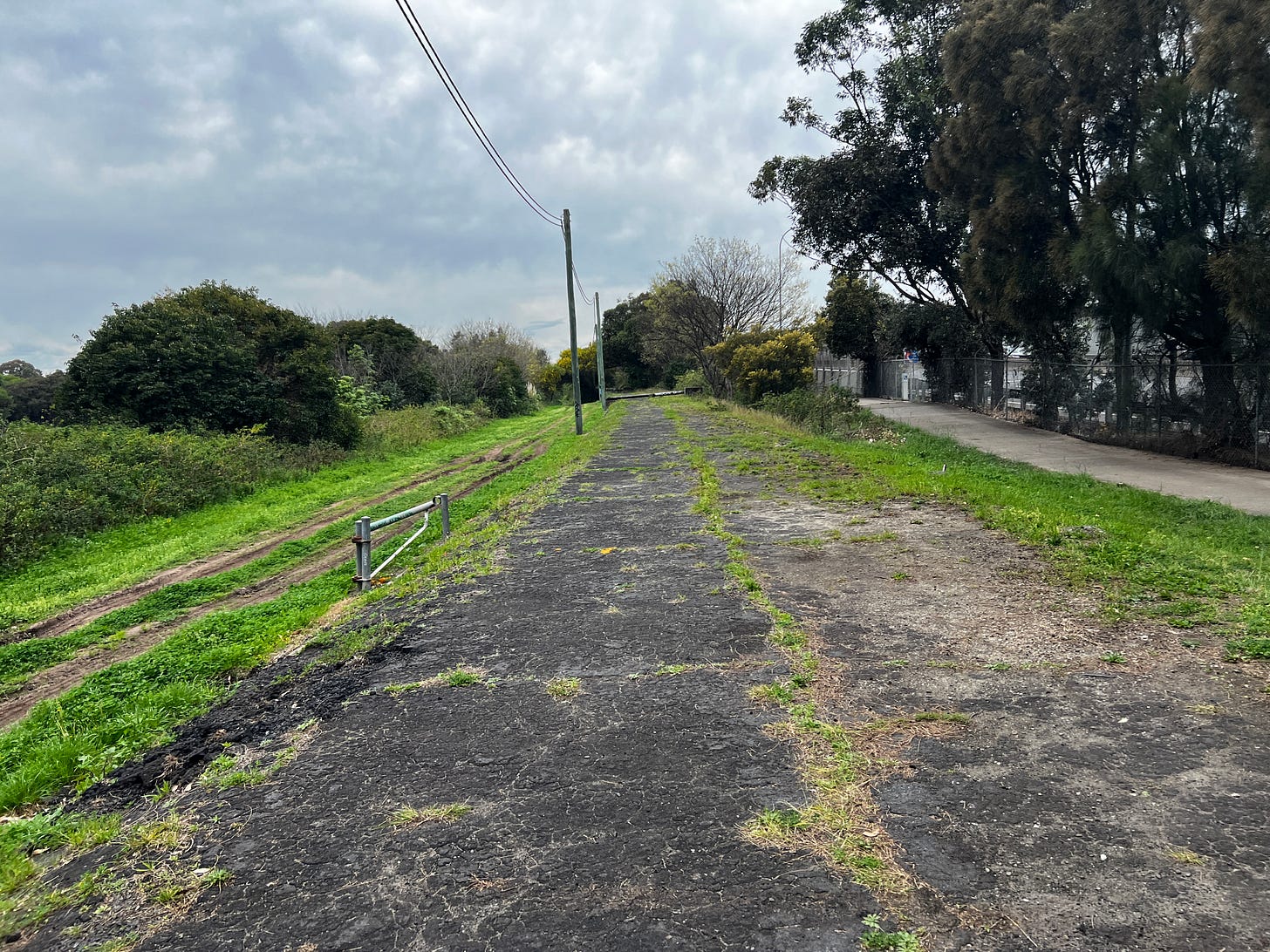
B. The Neighbourhood. Start on the grassy cover of the Outfall Trail and walk along Thompson Street and stroll through Bonar and Booth streets to Martin Street and the existing Allen Street Tunnel under the railway line.1
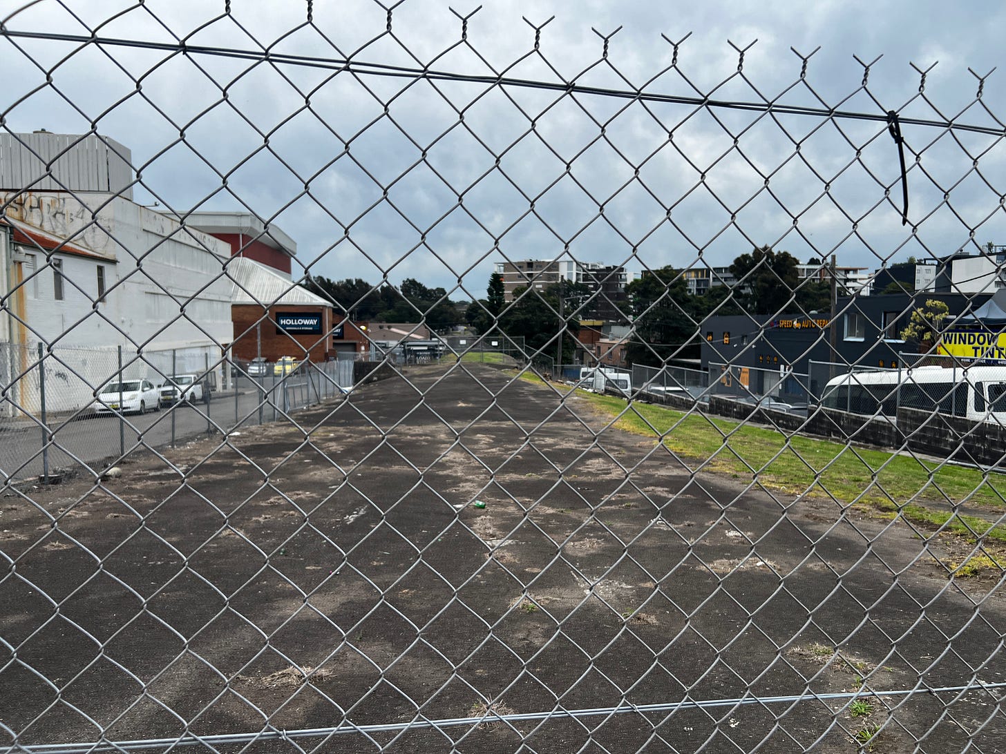
C. The Industrial Heartland. Returning along an improved Arncliffe Street, walk atop the WOMS to Princes Highway. Here we propose a new safe crossing of the Highway - either
(a) A new pedestrian Bridge to meet with the elevated Ajax Reserve, or
(b) A prioritised pedestrian crossing at a new, much needed traffic signal at Allen Street
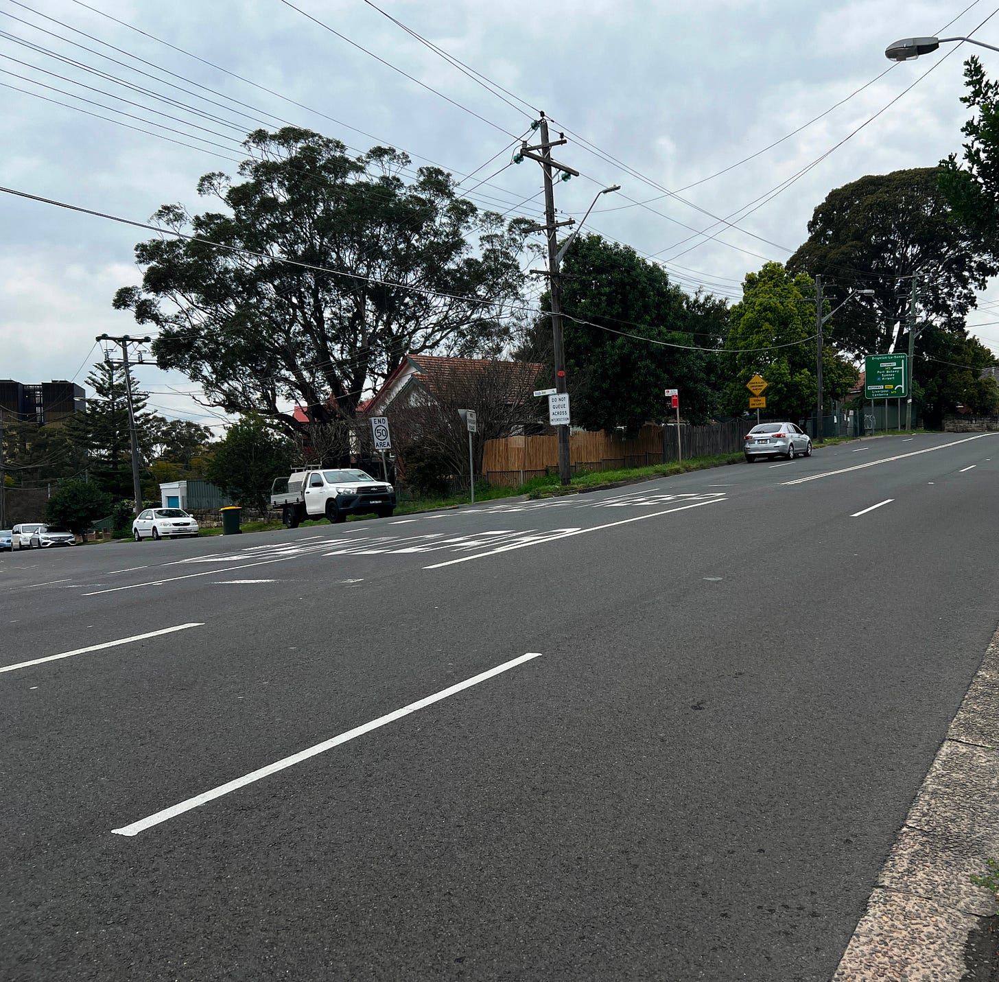
D. The Ajax Corridor. Walk through Ajax Reserve, and down Duncan Street, to cross West Botany Road at Valda Avenue (where we propose a new signalised at-grade crossing). Then walk down a calmed Valda Avenue to the existing underpass at Marsh Avenue.
E. Travel the existing Cook Park Path.
F. Atop the WOMS. Where the Cook Park Path now passes under the M5 to connect to Eve Street, we propose a branch of the Trail that will continue atop and along the WOMS to the Cooks River,
G. The Cooks River Foreshore. Travel along the Cooks River Foreshore Path to Muddy Creek, where we propose a new bridge over Muddy Creek
H. Then follow the existing Cook Park Path to Botany Bay.
Other Points of Note, allowing you to return on a different route than you came, making a circuit, future phases should include.
I. We support a new Cooks River Foreshore Path through the current site of the Kogorah Golf Club
J. We support a Princes Highway Underpass along Cooks River (watch your head, and don’t let your feet get wet).
K. We support a T4 Railway Underpass and Wolli Creek Overpass to connect to Whitlam Park.

This is possible, with a few new investments extending the existing paths and trails that are mostly already in place.
[Phase II: At Thompson Street, construct a new tunnel under the T4 tracks emerging on Arncliffe Street.]
Keep reading with a 7-day free trial
Subscribe to Transportist to keep reading this post and get 7 days of free access to the full post archives.


