INNER WEST’S “THE GREENWAY” IS EFFING GREAT.
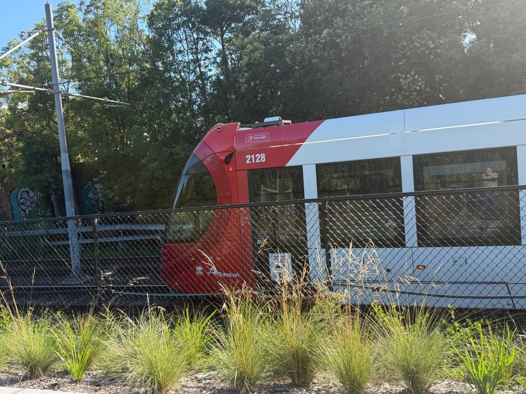
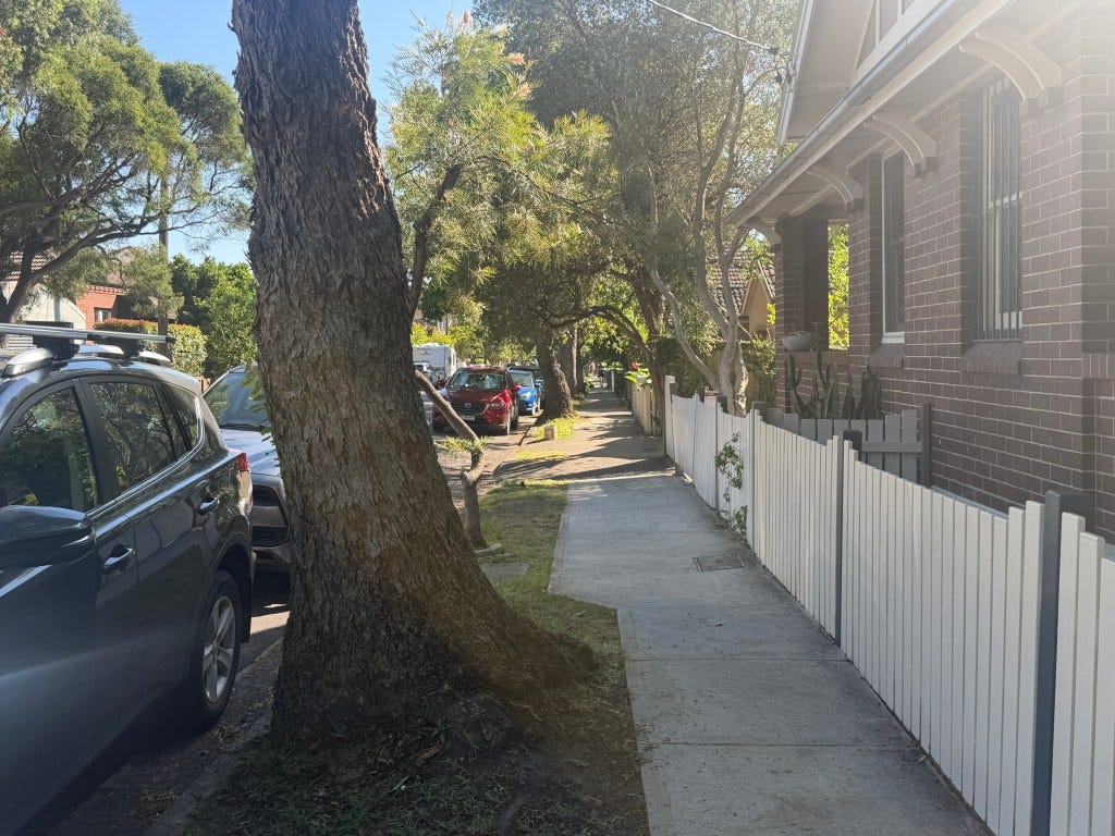
Last week I left my home in Arncliffe (at 07:00 am) to the newly opened Inner West “The GreenWay”. It took about a 75 minutes to reach there (via Turrella, Earlwood, Undercliffe, Marrickville, and Dulwich Hill) and then another hour or so on the route (til 09:15 am, it was a hot day) before I decided I had enough, since I’d been on the rest of it previously (along the Hawthorn Canal to Iron Cove), and took the LRT from Marion Street to Central, and the train back.
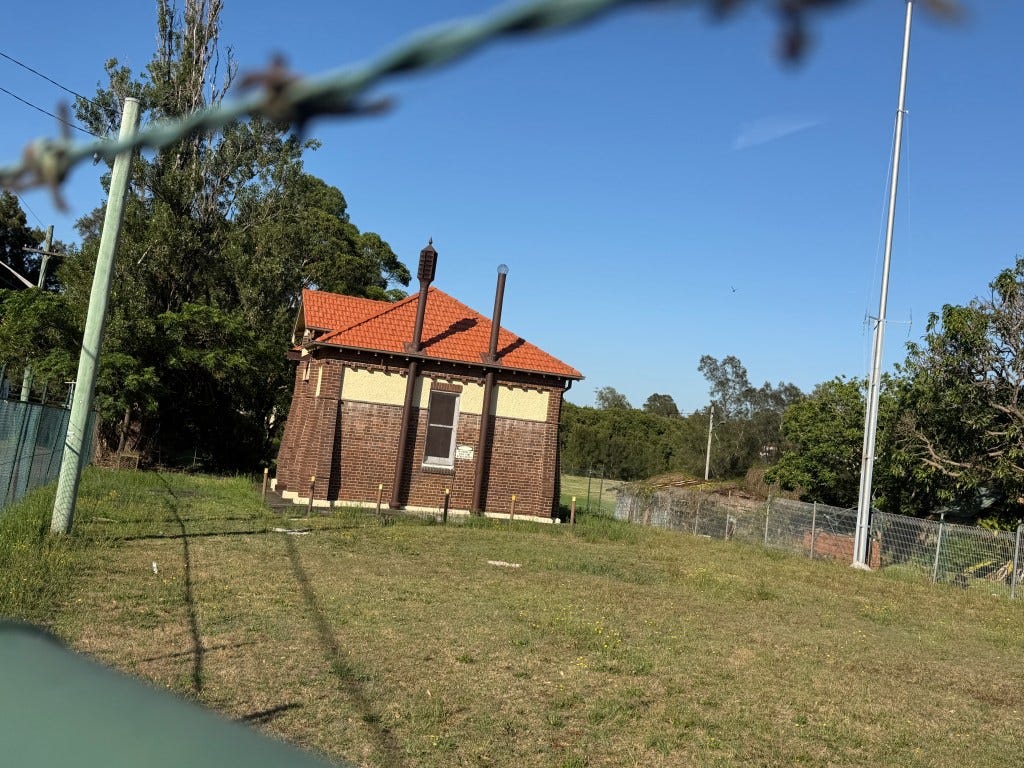
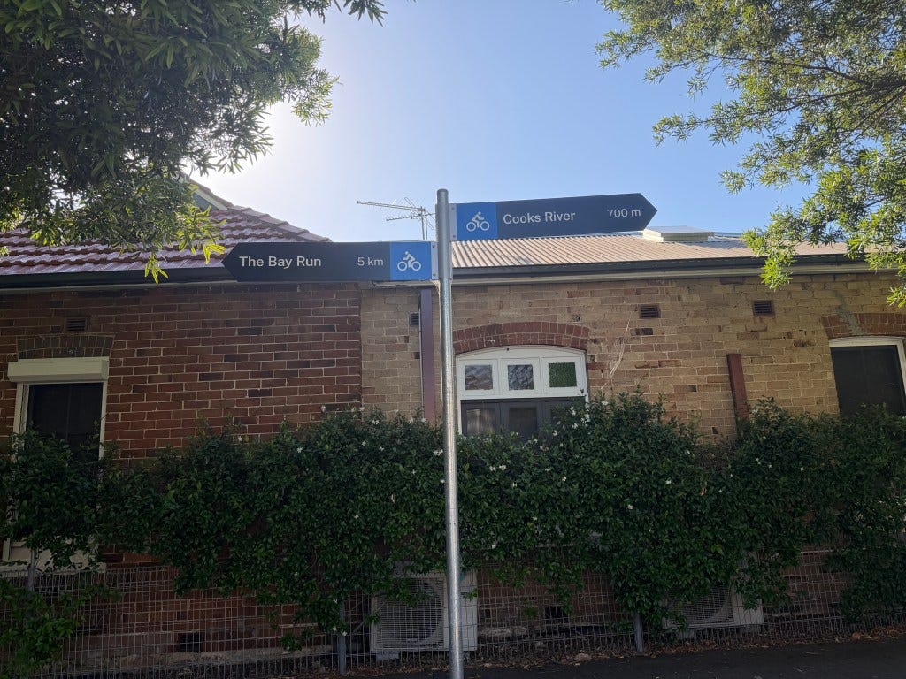
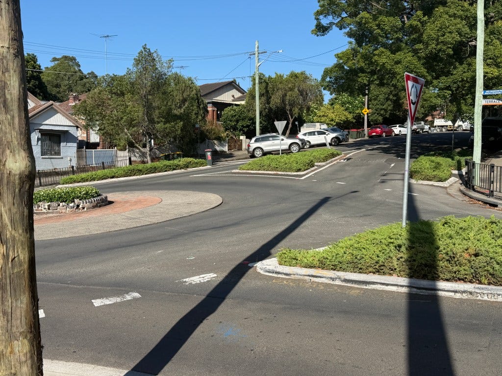
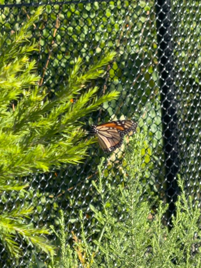
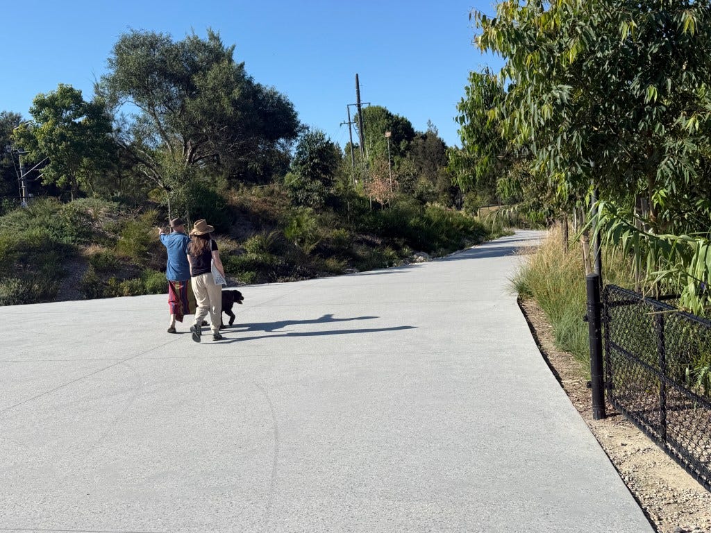
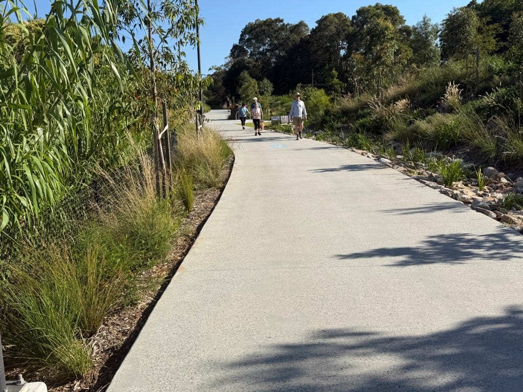
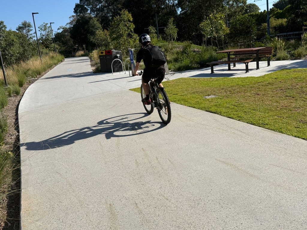
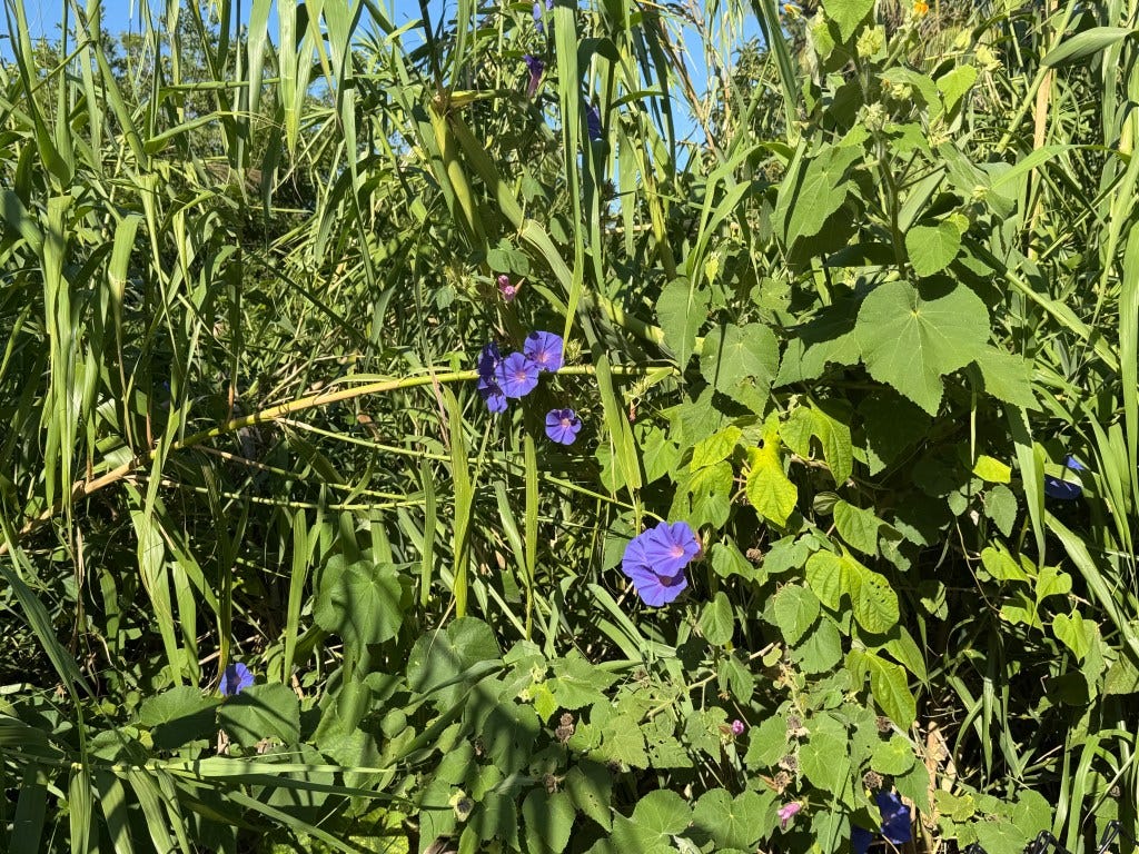
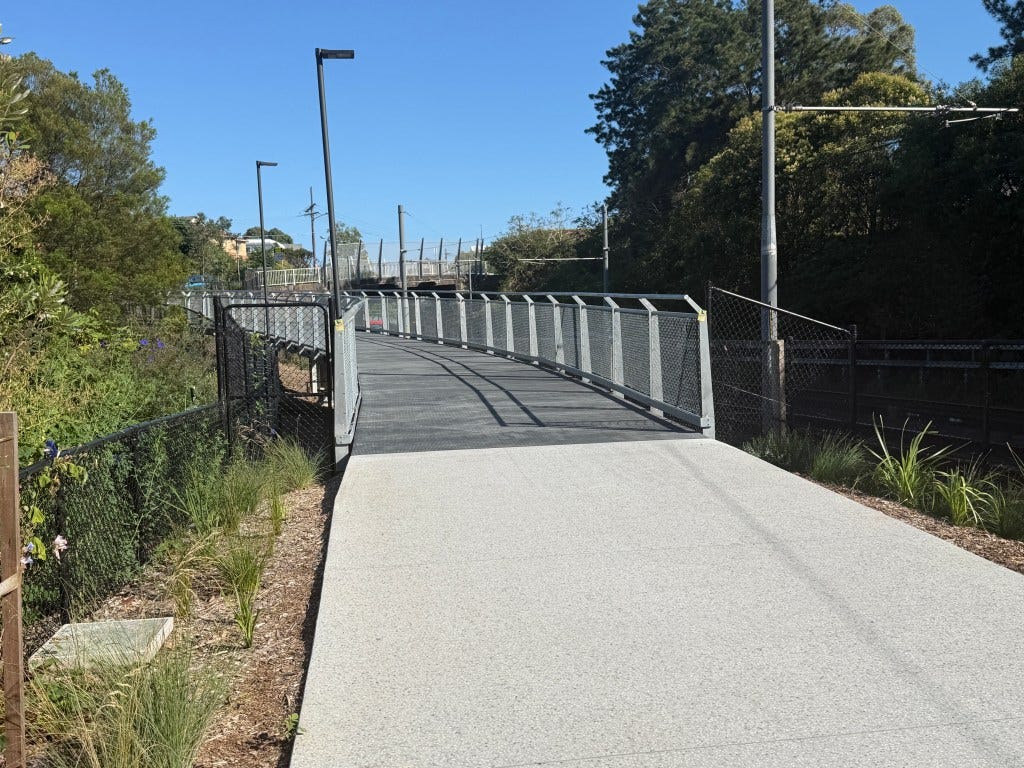
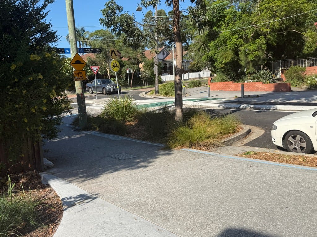
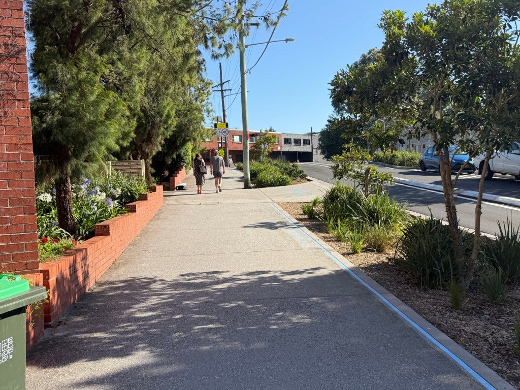
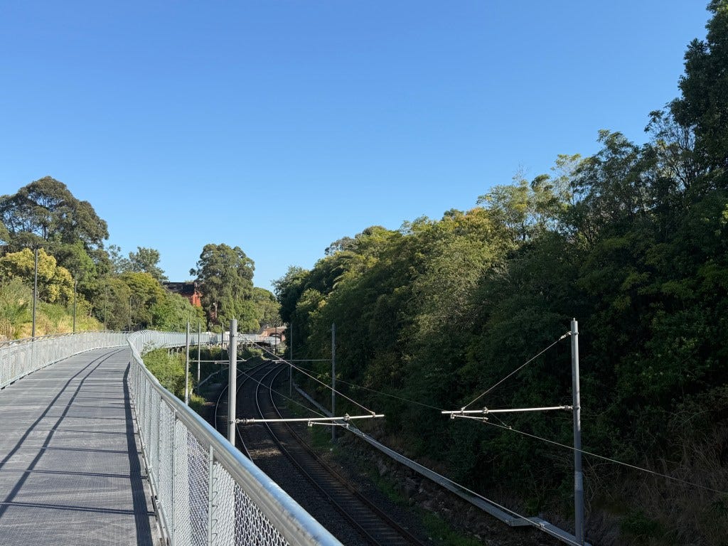
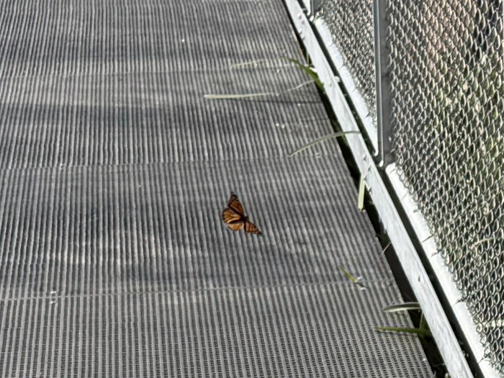
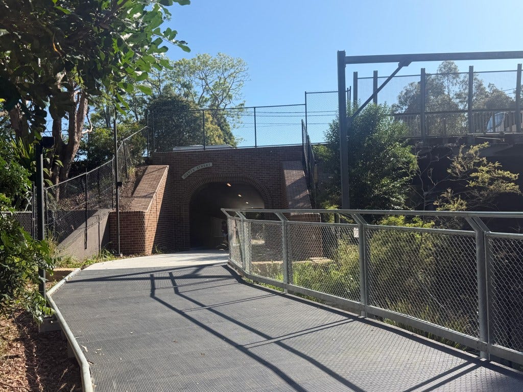
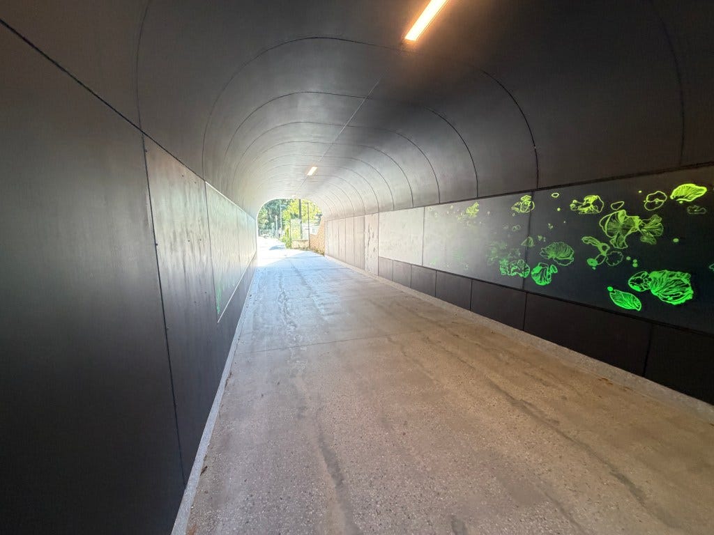
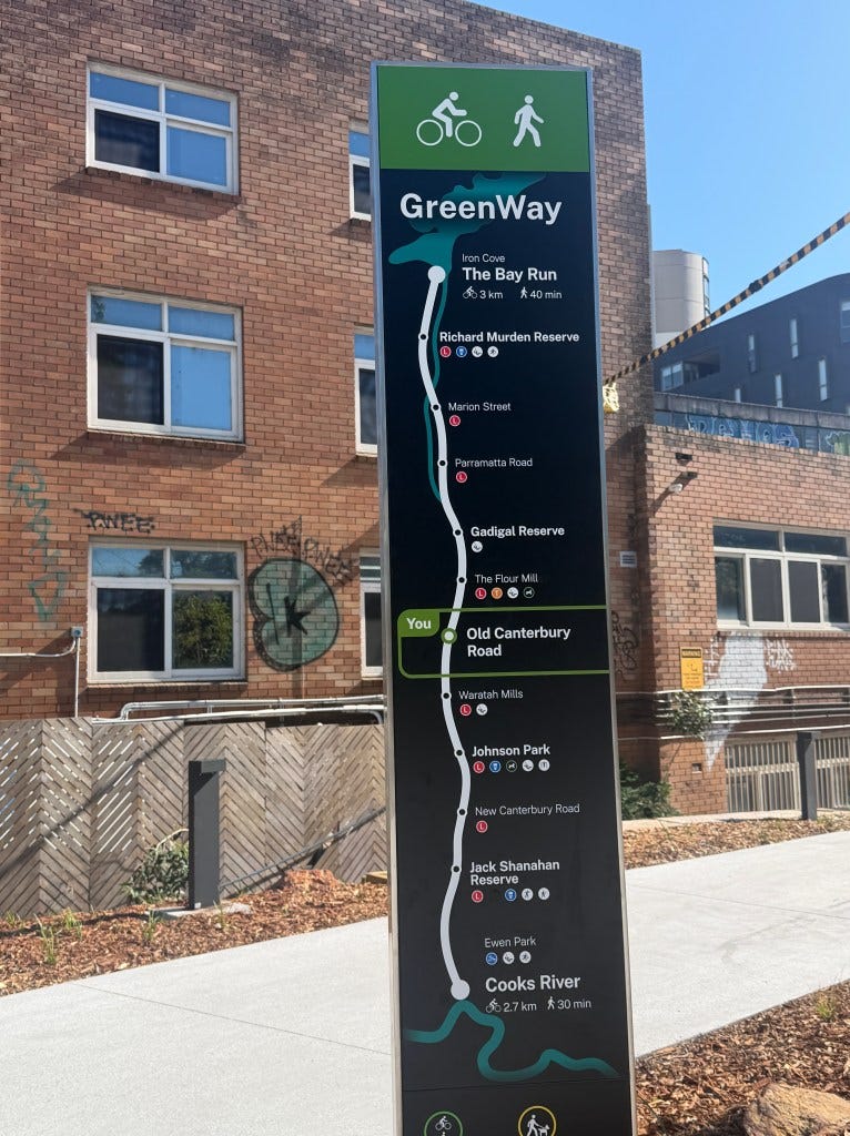
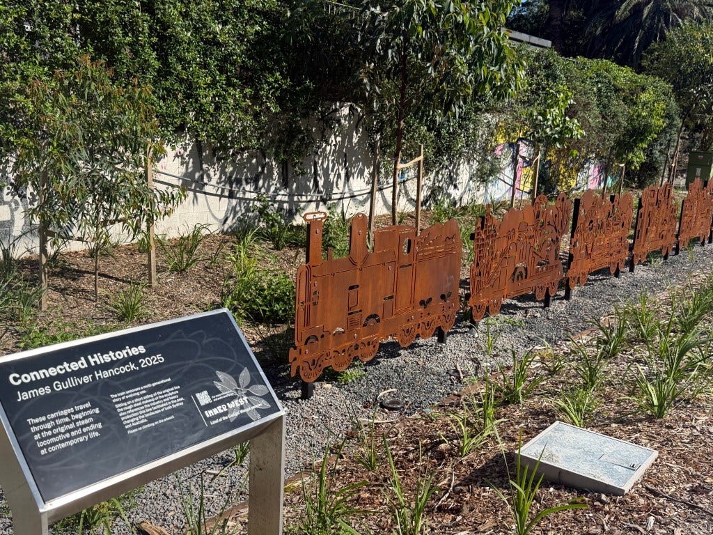
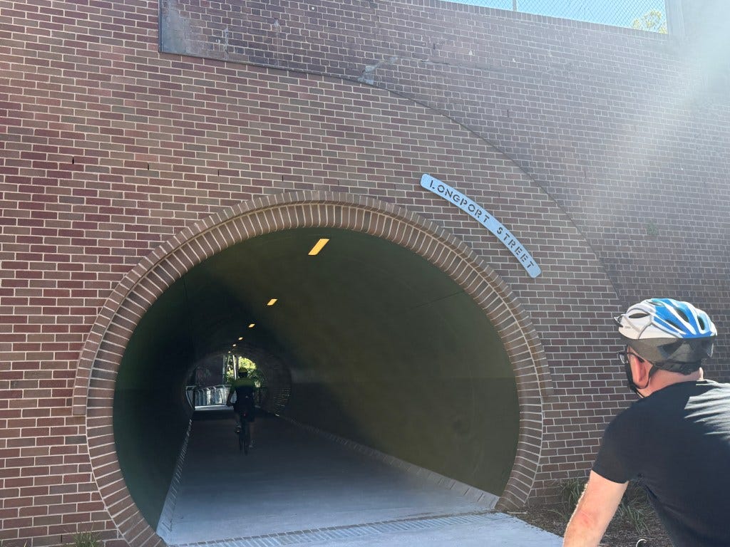
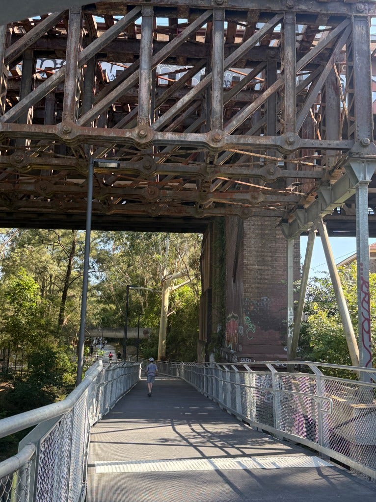
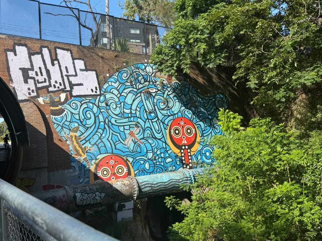
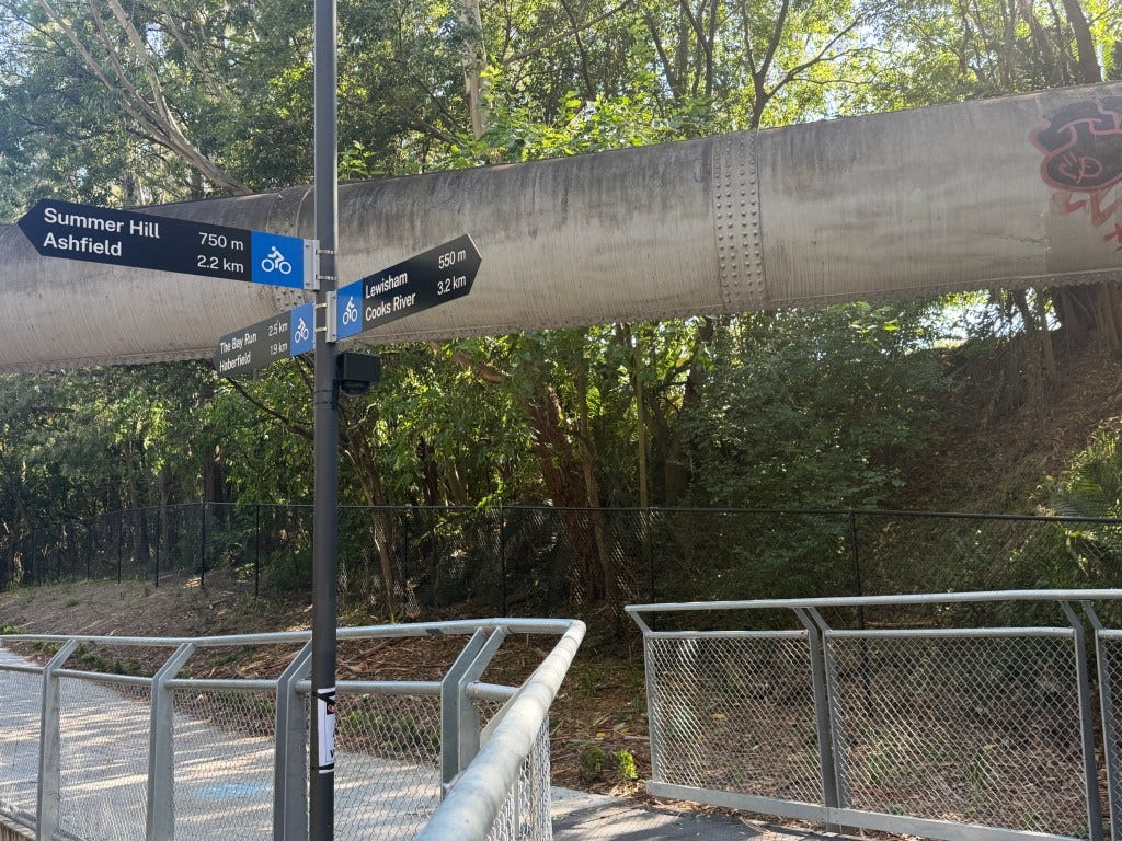
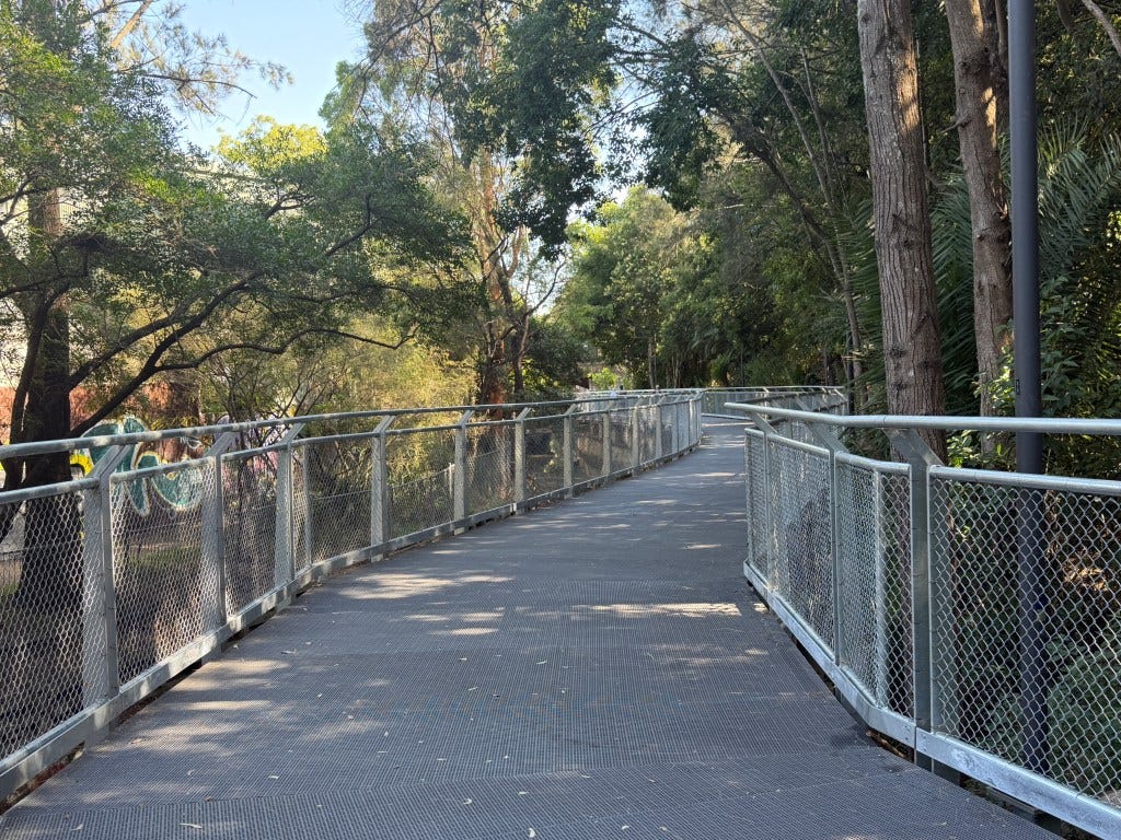
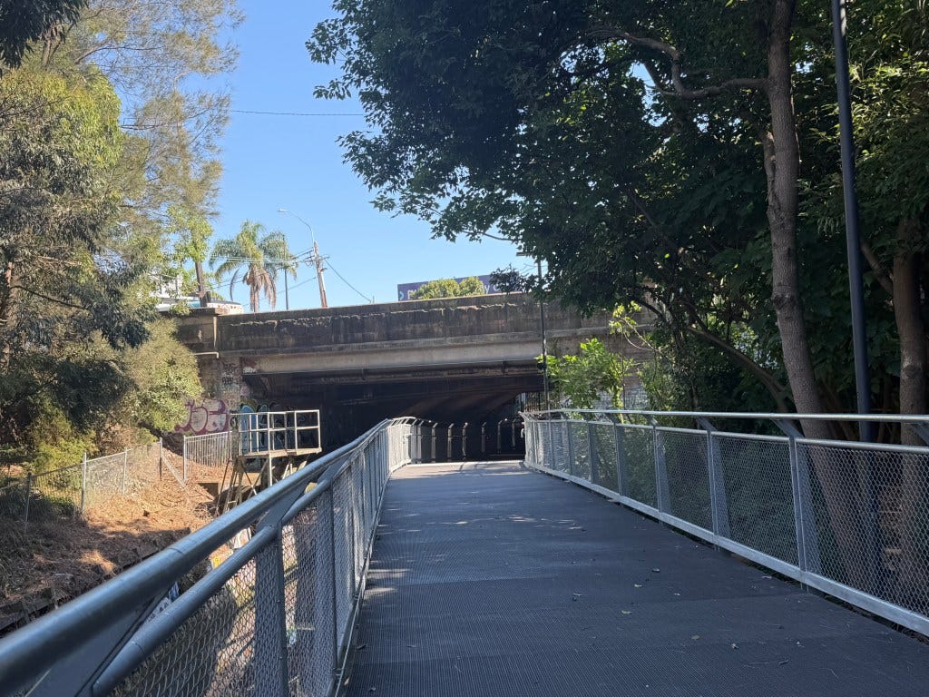
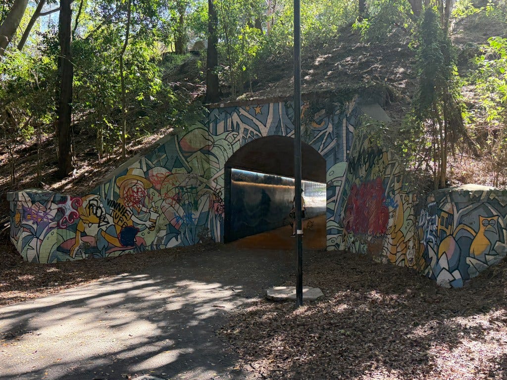
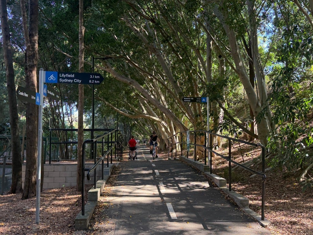
I picked up the GreenWay at Ewart Street and Ness Avenue, where a new roundabout and reconstructed pedestrian path under the soon-to-be-Metro tracks kick off the main part of the facility. Technically I guess the GreenWay follows Ness Avenue south toward the Cooks River, but this is basically on-street. (You will see from the photos below that I was first 400 m from the GreenWay, then 700m, but I think that’s because I took the hypotenuse of the triangle rather than going to the nominal starting point). In any case, what’s better than a trail where you can experience butterflies and wild turkeys and art work and playgrounds and active urban infrastructure (i.e. trains and pipelines) and almost not see any cars.
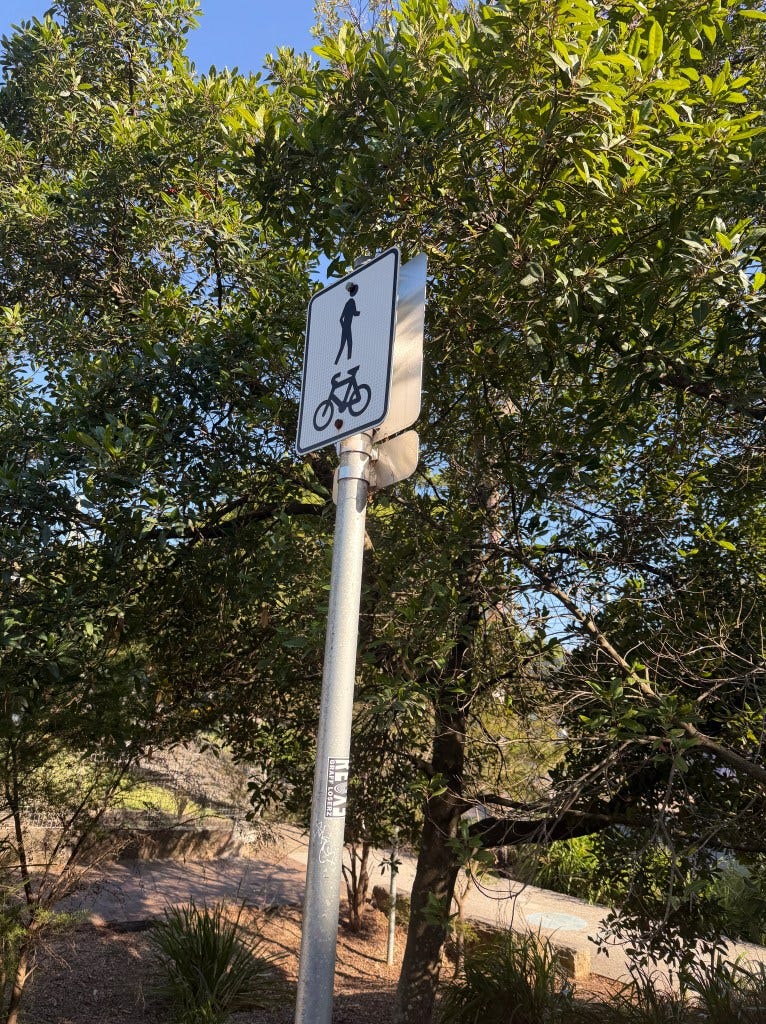
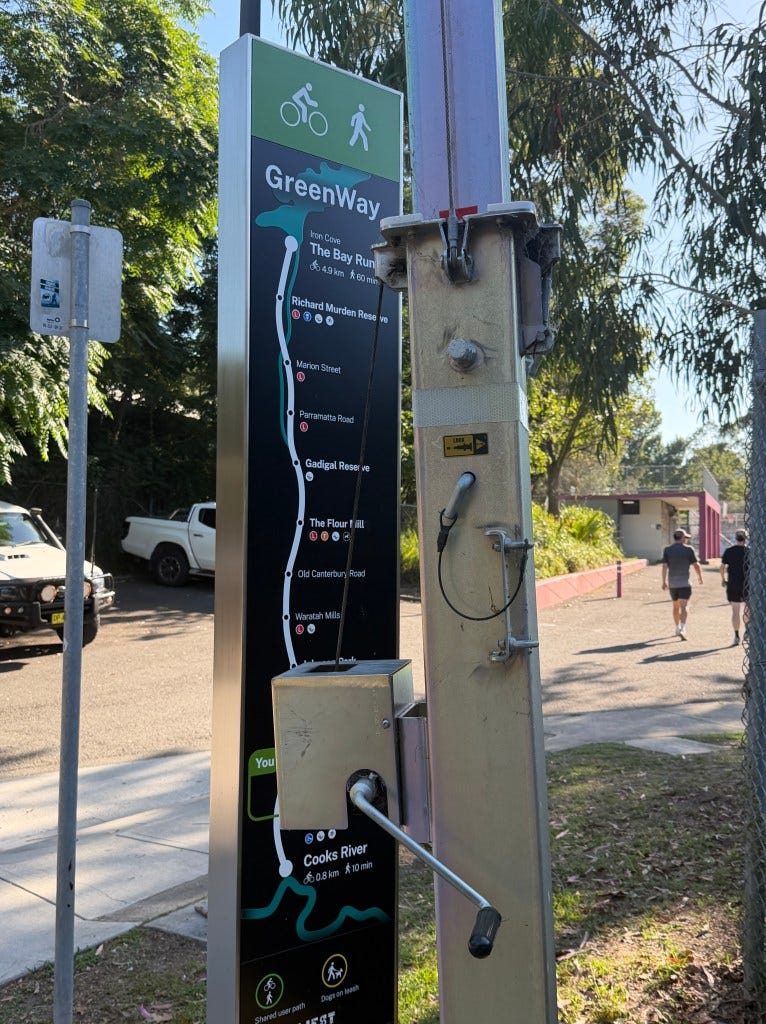
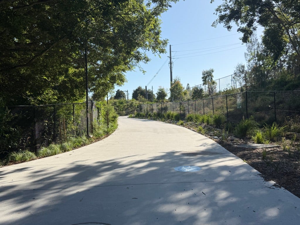
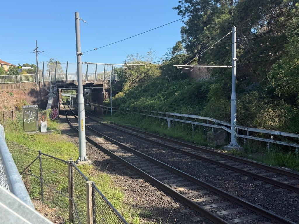
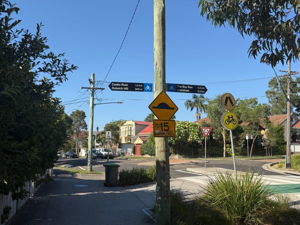
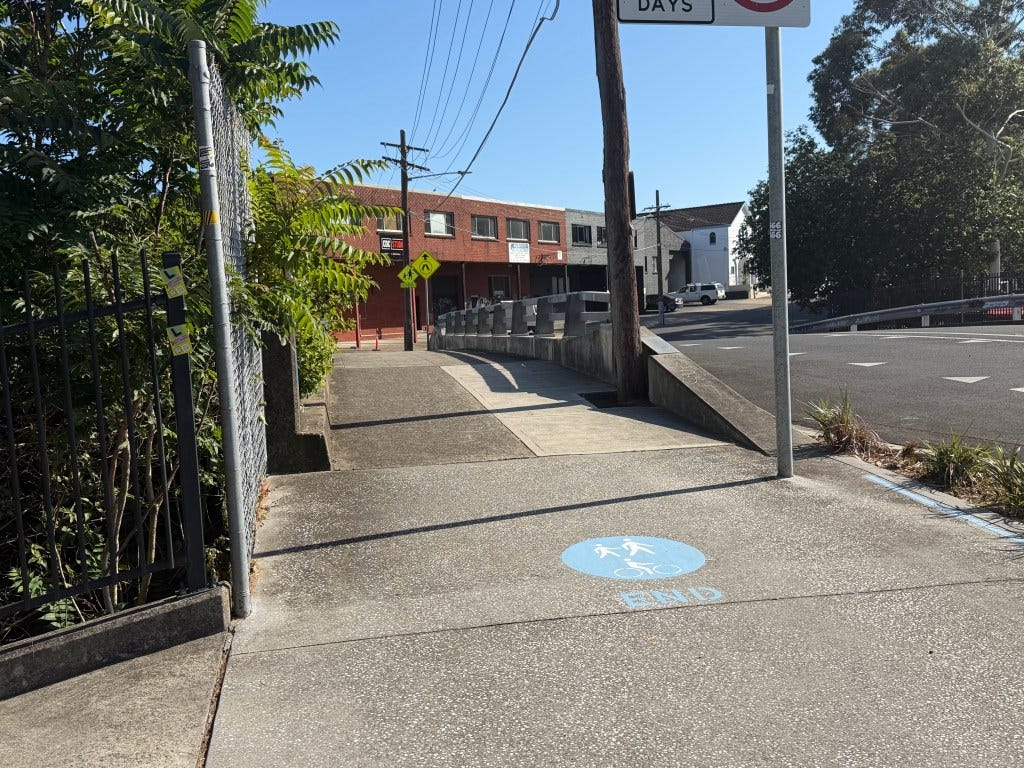
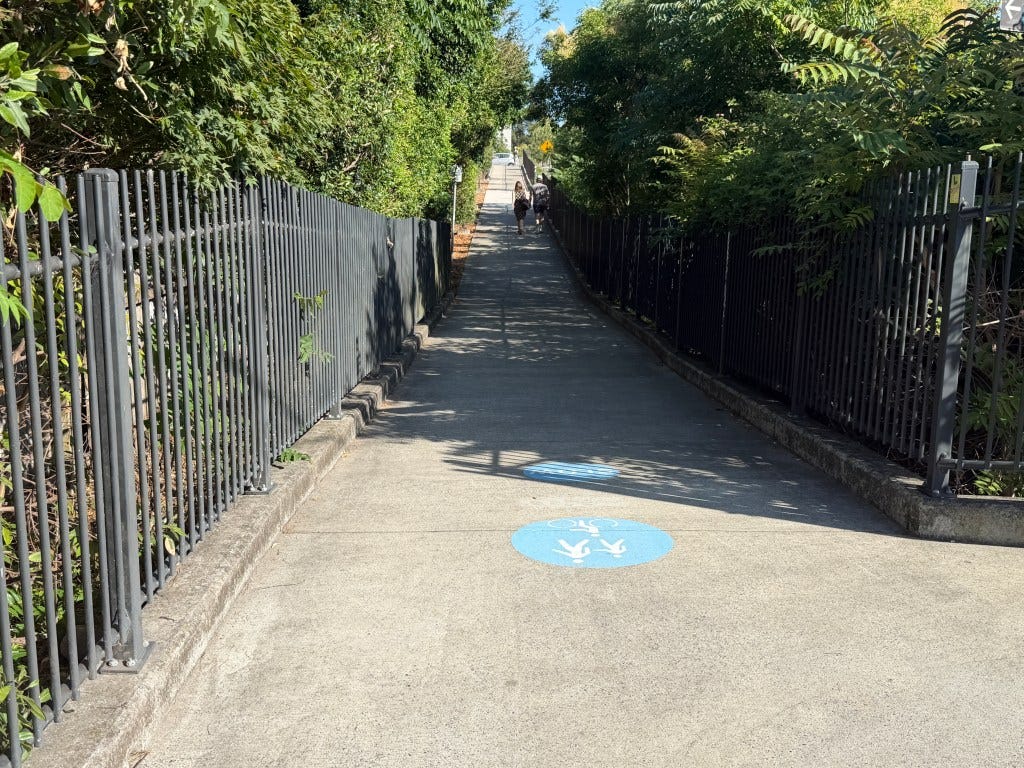
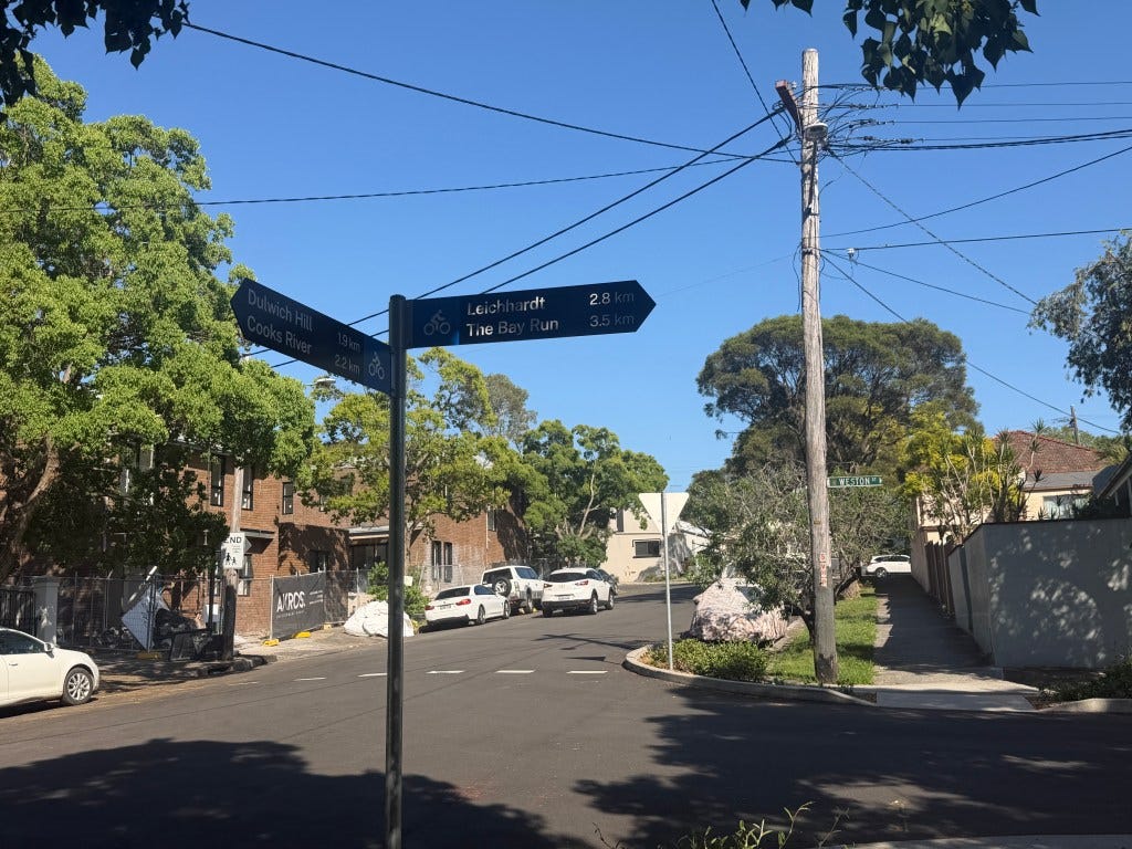
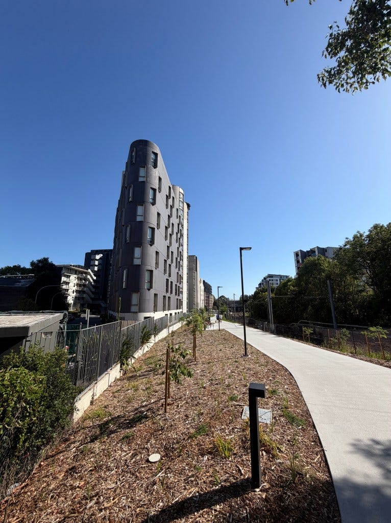
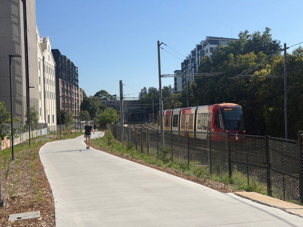
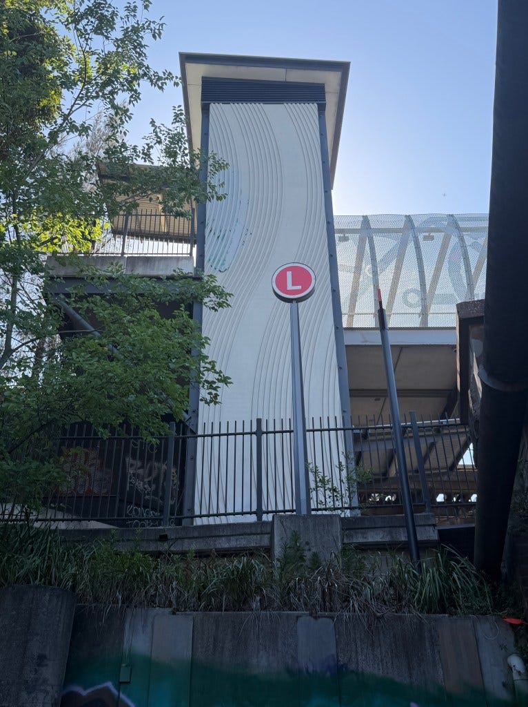
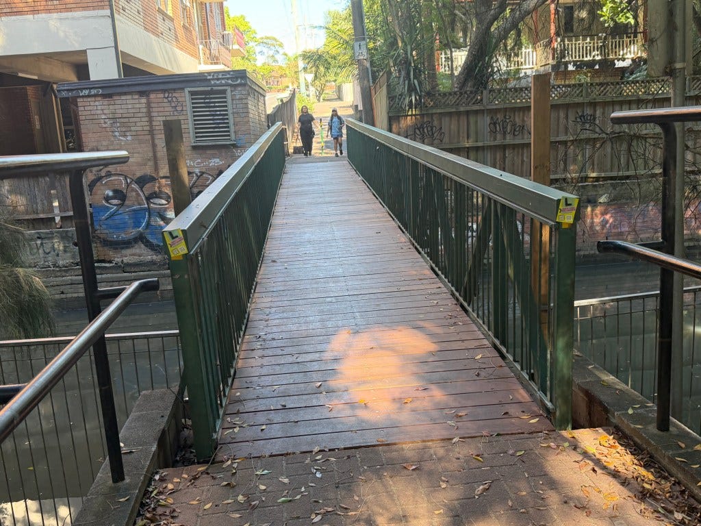
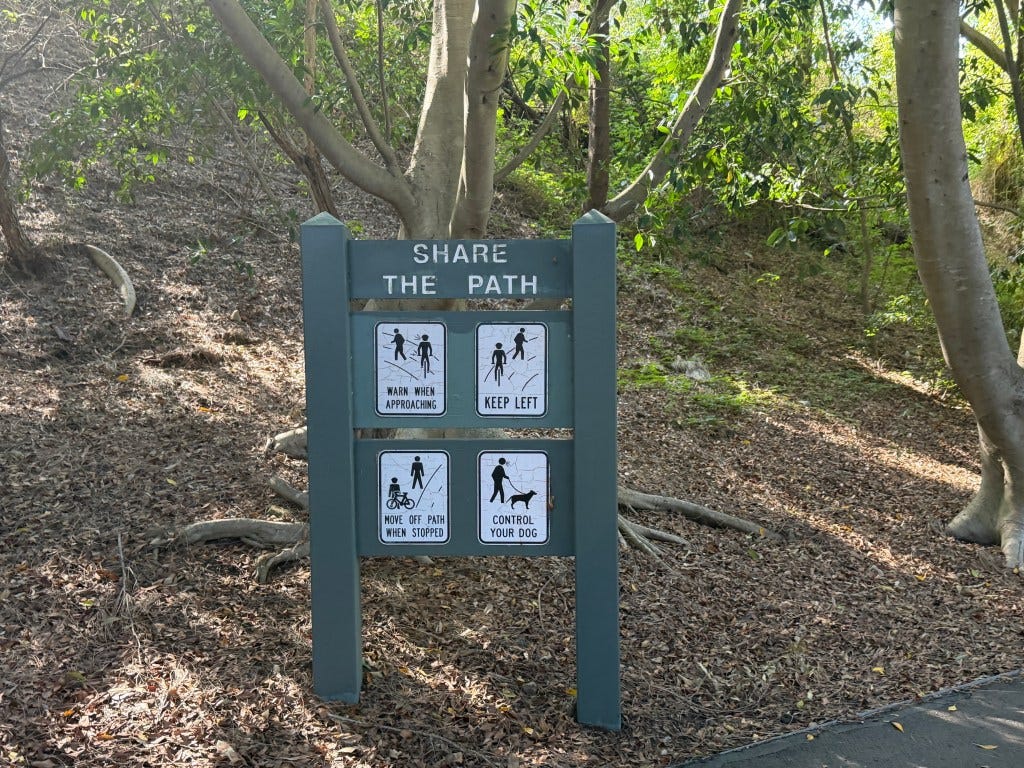
There are many wayfinding signs, though it is still a bit confusing to follow the first time, especially when it cross streets. I am not sure that is fixed by more signs rather than by a more self-explaining trail, or off-trail indicators. In any case, once you get on, it’s easy enough to follow in most places, since it parallels Sydney’s L1 Inner West LRT line, which is a former goods line that was converted to passenger service a decade ago, and is entirely grade-separated from cars outside of the CBD (though pedestrians can cross the tracks). The trail itself is mostly separated from traffic, but there are places that streets are crossed.
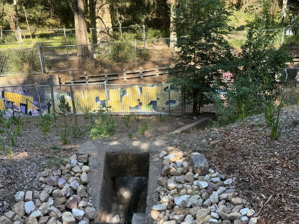
A lot has gone into the landscaping. Hopefully it is mostly self-maintaining native landscaping. Once the newly planted trees mature and provide shade, it will be even better. A park that automatically improves over time.
In places it is a bit narrower than I would like, which I assume is largely due to constraints, or incorporating previous infrastructure. I expect some will be remedied over time, and other parts will just be a bit narrow.
There are a number of YouTube videos, which might do a different job than the photos below. I will throw you to Chris Topher, who I Patreonise.
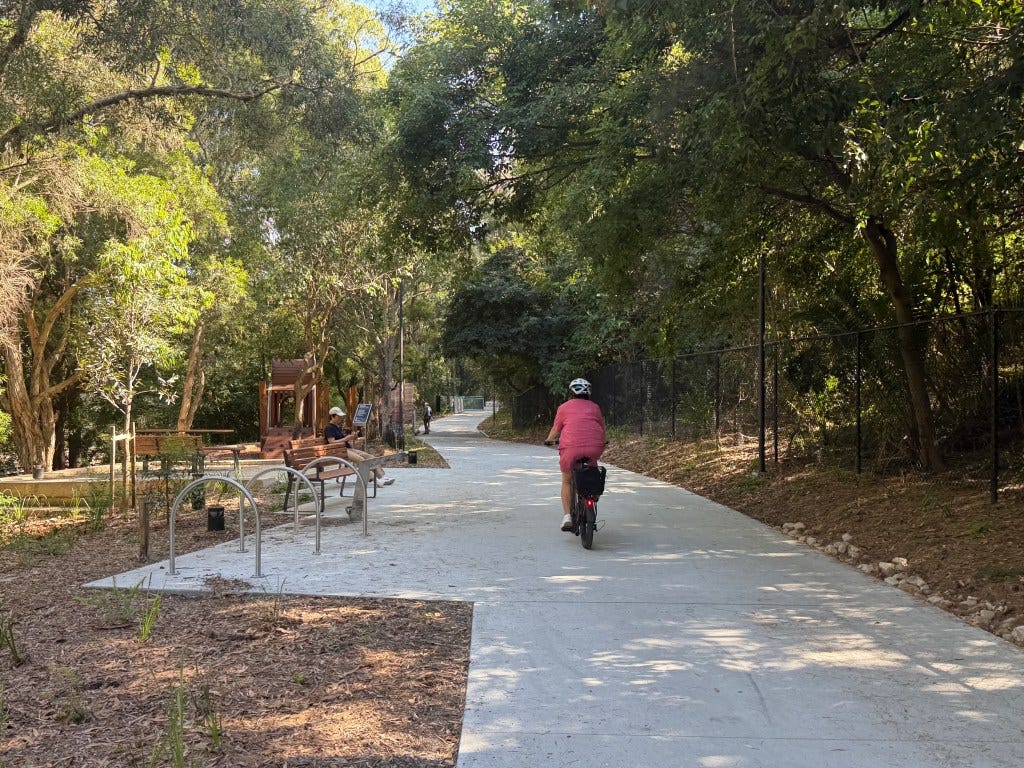
It’s already well-utilised, which is more than you can say for a lot of things, showing its huge value, which will only get higher once Metro reopens and as higher-density TOD fills in around the train stations. It was only $57 million apparently, which is far better bang for buck than most infrastructure. More of these please.
Trails are good for people, AND they will actually like it.